1
I D C
D O C U M E N T A T I O N
Chapter 2:
Te c h n i c a l I n s t r u c t i o n s
Operational Procedures
▼
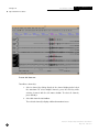
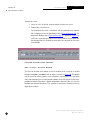
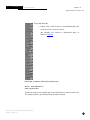
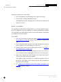
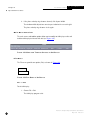
2. Choose View > View Selected Objects > Undraw Selected Objects.
The objects are removed from the display.
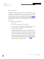
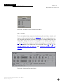
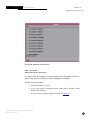
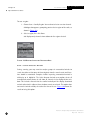
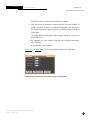
Object Attributes displays a dialogue box containing attribute information for one or more selected arrivals. If more than one object is selected
before selecting Object Attributes, then a separate dialogue box is displayed for each, superimposed one on top of each other.
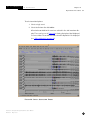
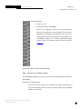
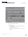
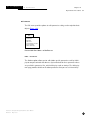
To see object attributes from Map:
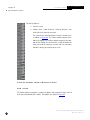
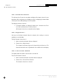
1. Select those objects (events, phases, and so forth) from the map.
2. Choose View > View Selected Objects > Object Attributes.
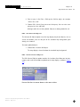
The attribute information of each selected object is displayed in separate
dialogue boxes.
View > Map Outlines
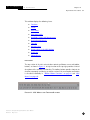
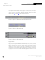
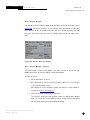
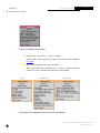
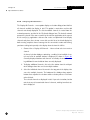
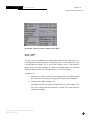
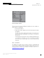
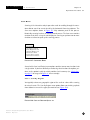
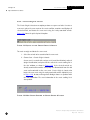
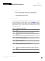
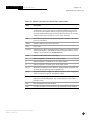
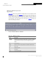
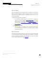
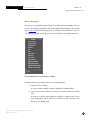
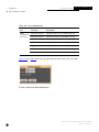
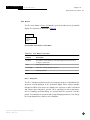
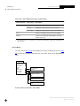
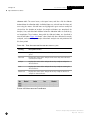
Map outlines are the boundaries of available map projections. Maps of a number
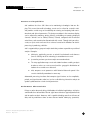
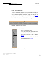
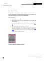
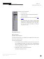
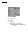
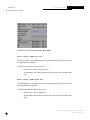
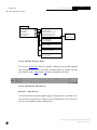
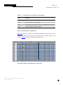
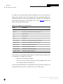
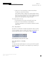
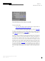
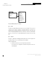
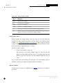
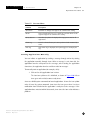
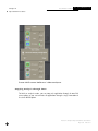
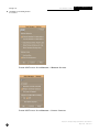
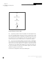
of specific geographic regions are available (for example, one map outline surrounds the North Polar region). The menu options are shown in Figure 183.
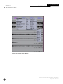
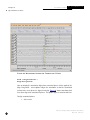
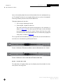
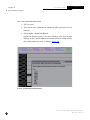
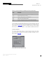
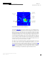
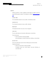
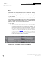
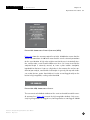
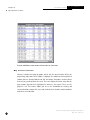
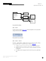
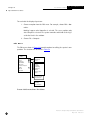
F IG U R E 183.M A P O U T L I N E S O PTI ON S
IN
M AP
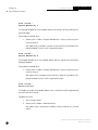
View > Map Outlines > Show Map
Outlines
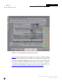
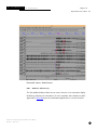
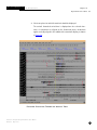
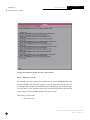
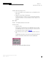
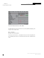
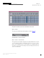
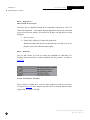
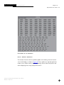
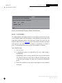
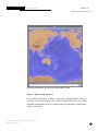
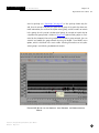
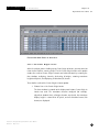
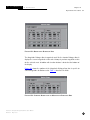
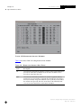
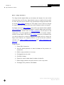
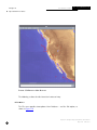
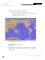
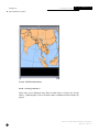
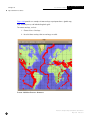
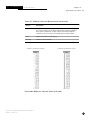
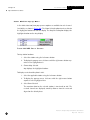
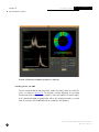
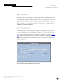
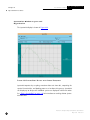
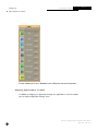
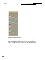
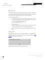
The Show Map Outlines option displays the current map view with all the possible
map outlines available. Map outlines are best displayed using a world map, as
shown in Figure 184.
Interactive Analysis Subsystem Software User Manual
IDC-6.5.1
May 2001
233