1
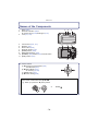
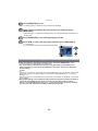
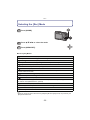
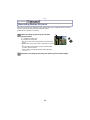
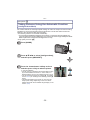
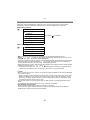
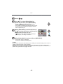
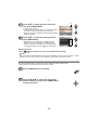
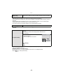
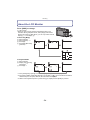
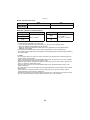
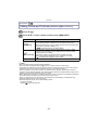
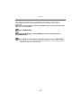
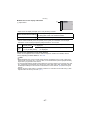
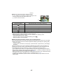
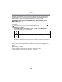
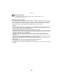
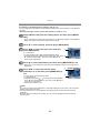
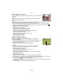
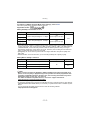
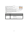
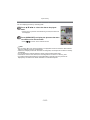
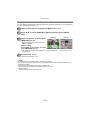
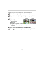
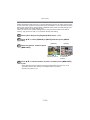
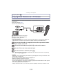
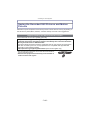
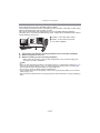
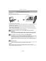
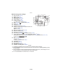
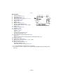
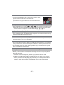
Recording [Rec] Mode: ñ· ¿ Measure bearing, altitude and atmospheric pressure It is possible to display or store in recorded pictures the environmental information of the recording location utilising the built-in compass, altimeter, and barometer. To display the compass, altimeter, and barometer, set [GPS Setting] to [ON] or [ ]. Select [GPS Setting] from the [GPS/ Sensor] menu. (P44) A B C D E F Compass Altimeter Latitude Longitude Time positioning was performed Barometer A B C D E Press 3/4 to select [ON] or [ N N 1.DEC 1.DEC.2011 F ], and then press [MENU/SET]. Compass • 8 bearings are measured based on the direction the lens of the camera is pointing in. • Direction of the coloured part of the compass needle is north A. About the declination adjustment Earth is a giant magnet with the S-pole at the North Pole and the N-pole at the South Pole, and the magnetism the Earth has is called “geomagnetism”. There is a difference between the angle of the north that a magnetic compass points to and the geographical “true north” due to the effect of the “geomagnetism”. The difference between these angles is called “declination”. The compass in this unit will point to “true north” by automatically correcting the “declination” with a built-in magnetic sensor. • The declination adjustment of this unit is performed by the latitude/longitude information acquired by the positioning of the GPS. It is recommended to update the current latitude/longitude by frequently performing the positioning since there may be a significant difference in declination due to travelling depending on the location. - 90 -