1
GeoModeller User Manual
Contents | Help | Top
Tutorial case study B (Antonio’s map)
31
| Back |
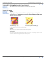
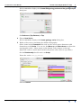
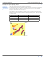
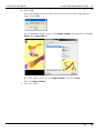
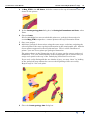
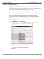
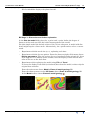
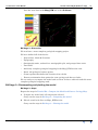
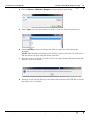
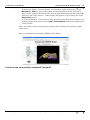
View the new data in the Map_DTM tab of the 2D Viewer.
B4 Stage 2—Discussion
We now have a more complete geological mapping project.
We have defined all of the basics:
•
Project East, North & Z extents
•
Topography
•
Stratigraphy units, ordered in a stratigraphic pile, and grouped into series
•
Two faults
•
And fairly complete geological mapping in the Map_DTM section view
•
About 100 geological contact points
•
Contact points that define the location of two faults
•
Fourteen orientation data points for some geology and the two faults
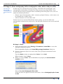
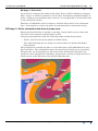
We are ready to recompute the model and see what we have achieved with this more
complete geological mapping work.
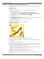
B4 Stage 2—Recomputing and plotting the model
B4 Stage 2—Steps
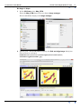
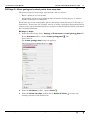
Repeat the steps in Tutorial B3—Compute the Model and Draw a Geology Map.
1
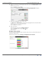
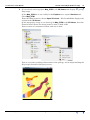
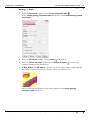
Compute the model with all components selected
Carry out the steps in B3 Stage 2—Computing the model
2
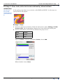
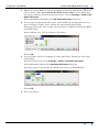
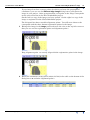
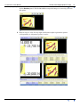
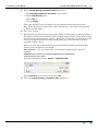
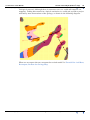
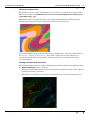
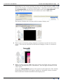
Plot the model with lines on Map_DTM section.
Carry out the steps in B3 Stage 3—Plotting the model
Contents Help | Top
© 2013 BRGM & Desmond Fitzgerald & Associates Pty Ltd
| Back |