1
Software User Guide
VGTExtract
H18V7
H19V7
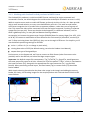
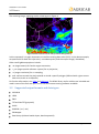
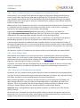
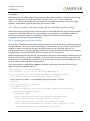
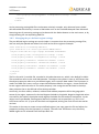
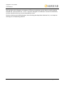
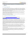
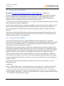
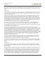
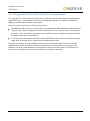
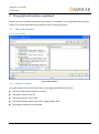
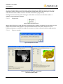
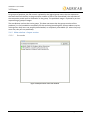
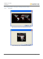
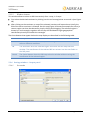
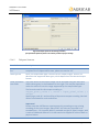
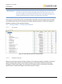
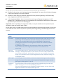
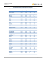
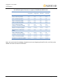
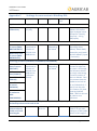
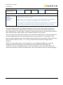
Figure 1 Four Geoland2 V1 fCOVER tiles, extracted for Niger
As can be seen, the extraction automatically adds the missing data values to those areas that were
not covered by the individual input tiles, so that the four resulting images have the same coverage.
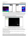
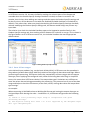
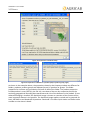
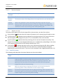
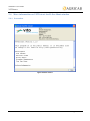
In many generic GIS and remote sensing software, such as the free QuantumGIS, these layers can
now be opened on top of each other. After checking that the GIS recognizes the 255 value for
“missing data”, the software visualizes the complete image.
Figure 2 QuantumGIS example showing the four stacked layers
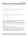
Of course, one more step is needed to merge the different tiles together into one image. In
QuantumGIS, this can be achieved via the Merge operation in the Raster menu, which effectively
runs the gdal_merge script. Make sure to put the “no data” value to the value 255 (-n 255) that we
used to indicate missing data.
While gdal_merge can be automated by itself, it is based on the gdalwarp command-line utility,
which offers even more flexibility.
An example command would be
gdalwarp –of GTiff –srcnodata 255 –dstnodata 255 g2_BIOPAR_FCOVER*.img stickedImage.tif
Date: 2013-01-02
Issue: 2.1.0
Page 17 of 63