1
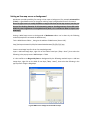
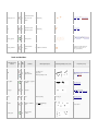
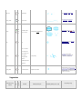
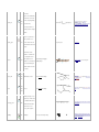
boulder_cluster
209
A small distinct group
of boulders so closely
clustered together that
they cannot be marked
individually.
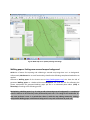
stony_ground
210
Stony ground
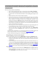
open_land,
surface:sand
211
Open sandy ground
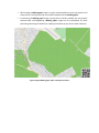
bare_rock
212
Bare rock
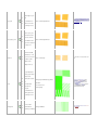
size=normal/large?
natural=scree optionally runability=*,
alternative when area is not a scree, like a
stony forest?
natural=beach, alternative when area is not a
beacharea=yes andsurface=sand
landuse=quarry alternative when area is not
a quarry? natural=bare_rock tag?
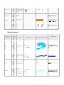
Water and marsh
Value for iof= key
IOF
Type
notation
Comment
Extra key=value pairs
Rendering example (not to scale)
corresponding osm tags
code
301,
302,
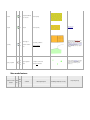
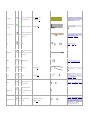
Water areas (lakes,
bank_line:yes/no.
304,
ponds, rivers)
passable:yes/no (issom)
natural=water (natural=landfor islands
within), waterway=dock, for large rivers
usewaterway=riverbank optionaly:foot=passa
ble
water
305?
Smallest size for river,
bank_line:yes/no.
river
304
waterway=riverwaterway=canal
alternative or combined
passable:yes/no
with water.
301,
Bank lines to water
304
areas (also see water)
bank_line
See water
foot=passable removes bank line for waters
Crossable
305,
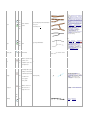
watercourse
watercourses. Large
size=large/small/minor ,
watercourses could be
width=[meter]
306,
307
combined with water.
waterway=river withfoot=passable /waterway
=stream orwaterway=drain (medium) / the
latter both optionaly withindistinct=yes.